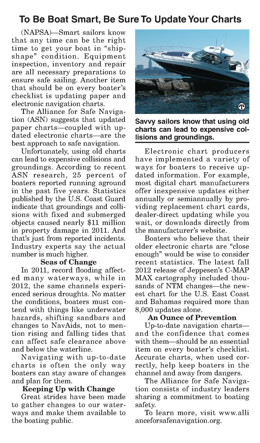


(NAPSA)—Smart sailors know that any time can be the right time to get your boat in “ship- shape” condition. Equipment inspection, inventory and repair are all necessary preparations to ensure safe sailing. Another item that should be on every boater’s checklist is updating paper and electronic navigation charts. The Alliance for Safe Navigation (ASN) suggests that updated paper charts—coupled with up- dated electronic charts—are the best approachto safe navigation. Unfortunately, using old charts can lead to expensive collisions and groundings. According to recent ASN research, 25 percent of boaters reported running aground in the past five years. Statistics published by the U.S. Coast Guard indicate that groundings andcollisions with fixed and submerged objects caused nearly $11 million in property damage in 2011. And that’s just from reported incidents. Industry experts say the actual numberis much higher. Seas of Change In 2011, record flooding affected many waterways, while in 2012, the same channels experi- enced serious droughts. No matter the conditions, boaters must contend with things like underwater hazards, shifting sandbars and changes to NavAids, not to men- tion rising and falling tides that can affect safe clearance above and below the waterline. Navigating with up-to-date charts is often the only way boaters can stay aware of changes and plan for them. Keeping Up with Change Great strides have been made to gather changes to our waterways and make them available to the boating public. Savvy sailors know that using old charts can lead to expensive collisions and groundings. Electronic chart producers have implemented a variety of ways for boaters to receive up- dated information. For example, most digital chart manufacturers offer inexpensive updates either annually or semiannually by pro- viding replacement chart cards, dealer-direct updating while you wait, or downloads directly from the manufacturer’s website. Boaters who believe that their older electronic charts are “close enough” would be wise to consider recent statistics. The latest fall 2012 release of Jeppesen’s C-MAP MAX cartography included thou- sands of NTM changes—the new- est chart for the U.S. East Coast and Bahamasrequired more than 8,000 updates alone. An Ounceof Prevention Up-to-date navigation charts— and the confidence that comes with them—should be an essential item on every boater’s checklist. Accurate charts, when used correctly, help keep boaters in the channel and away from dangers. The Alliance for Safe Navigation consists of industry leaders sharing a commitment to boating safety. To learn more, visit www.alli anceforsafenavigation.org.