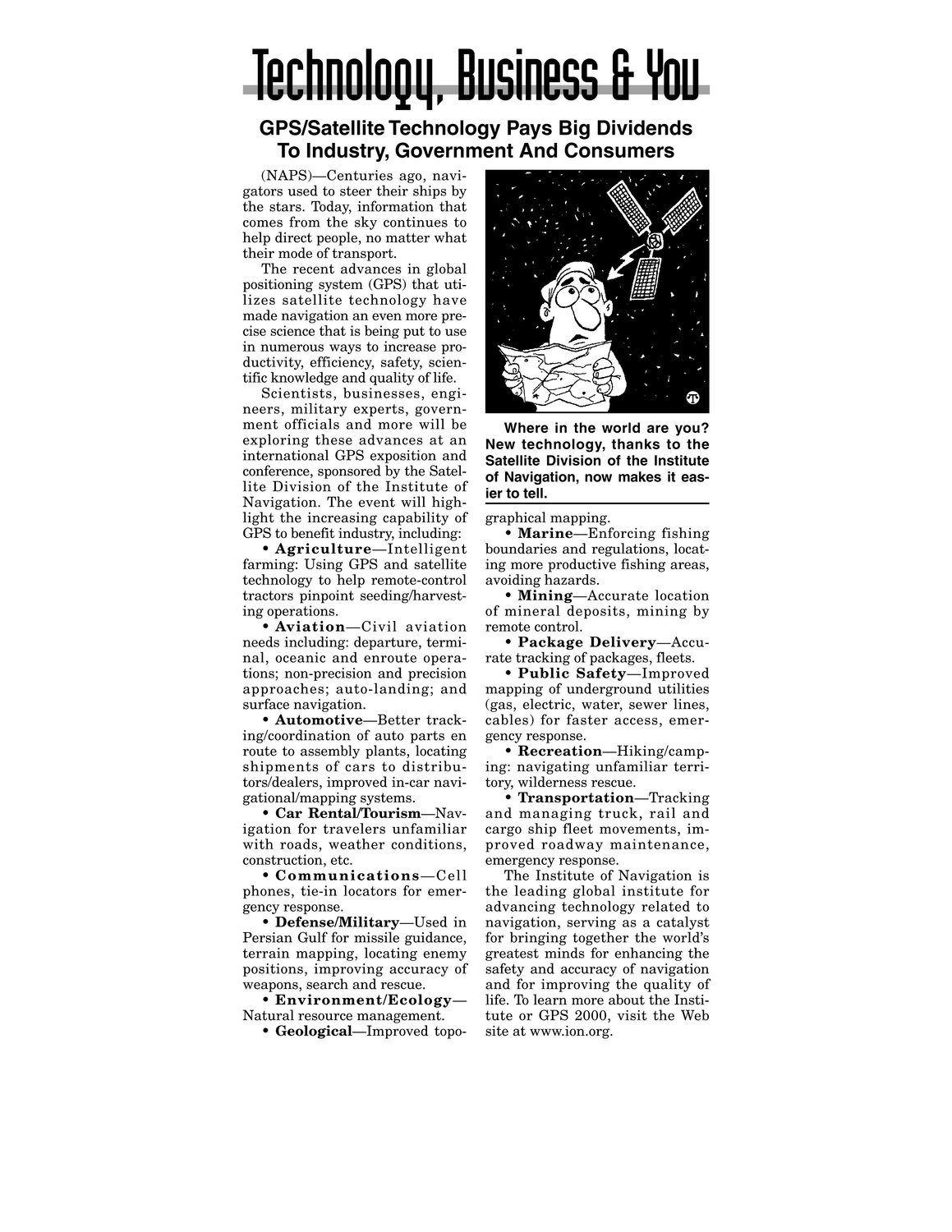
GPS/Satellite Technology Pays Big Dividends To Industry, Government And Consumers (NAPS)—Centuries ago, navi- gators used to steer their ships by the stars. Today, information that comes from the sky continues to help direct people, no matter what their modeof transport. The recent advances in global positioning system (GPS) that utilizes satellite technology have madenavigation an even more pre- cise science that is being put to use in numerous waysto increase productivity, efficiency, safety, scien- tific knowledge and quality oflife. Scientists, businesses, engi- neers, military experts, govern- ment officials and more will be exploring these advances at an international GPS exposition and Where in the world are you? New technology, thanks to the conference, sponsored by the Satel- Satellite Division of the Institute of Navigation, now makesit eas- light the increasing capability of GPSto benefit industry, including: graphical mapping. Marine—Enforcing fishing lite Division of the Institute of Navigation. The event will high- ier to tell. Agriculture—Intelligent boundaries and regulations, locat- tractors pinpoint seeding/harvest- Mining—Accurate location of mineral deposits, mining by remote control. Package Delivery—Accu- farming: Using GPS andsatellite technology to help remote-control ing operations. Aviation—Civil aviation needs including: departure, termi- nal, oceanic and enroute opera- tions; non-precision and precision approaches; auto-landing; and surface navigation. Automotive—Better tracking/coordination of auto parts en ing more productive fishing areas, avoiding hazards. rate tracking of packages, fleets. Public Safety—Improved mapping of underground utilities (gas, electric, water, sewer lines, cables) for faster access, emer- route to assembly plants, locating shipments of cars to distribu- gency response. Recreation—Hiking/camping: navigating unfamiliar terri- Car Rental/Tourism—Nav- Transportation—Tracking and managing truck, rail and tors/dealers, improved in-car navigational/mapping systems. igation for travelers unfamiliar with roads, weather conditions, construction,etc. Communications—Cell phones, tie-in locators for emergency response. Defense/Military—Used in Persian Gulf for missile guidance, terrain mapping, locating enemy positions, improving accuracy of weapons, search and rescue. Environment/Ecology— Natural resource management. Geological—Improved topo- tory, wilderness rescue. cargo ship fleet movements, im- proved roadway maintenance, emergencyresponse. The Institute of Navigation is the leading global institute for advancing technology related to navigation, serving as a catalyst for bringing together the world’s greatest minds for enhancing the safety and accuracy of navigation and for improving the quality of life. To learn more about the Institute or GPS 2000, visit the Web site at www.ion.org.