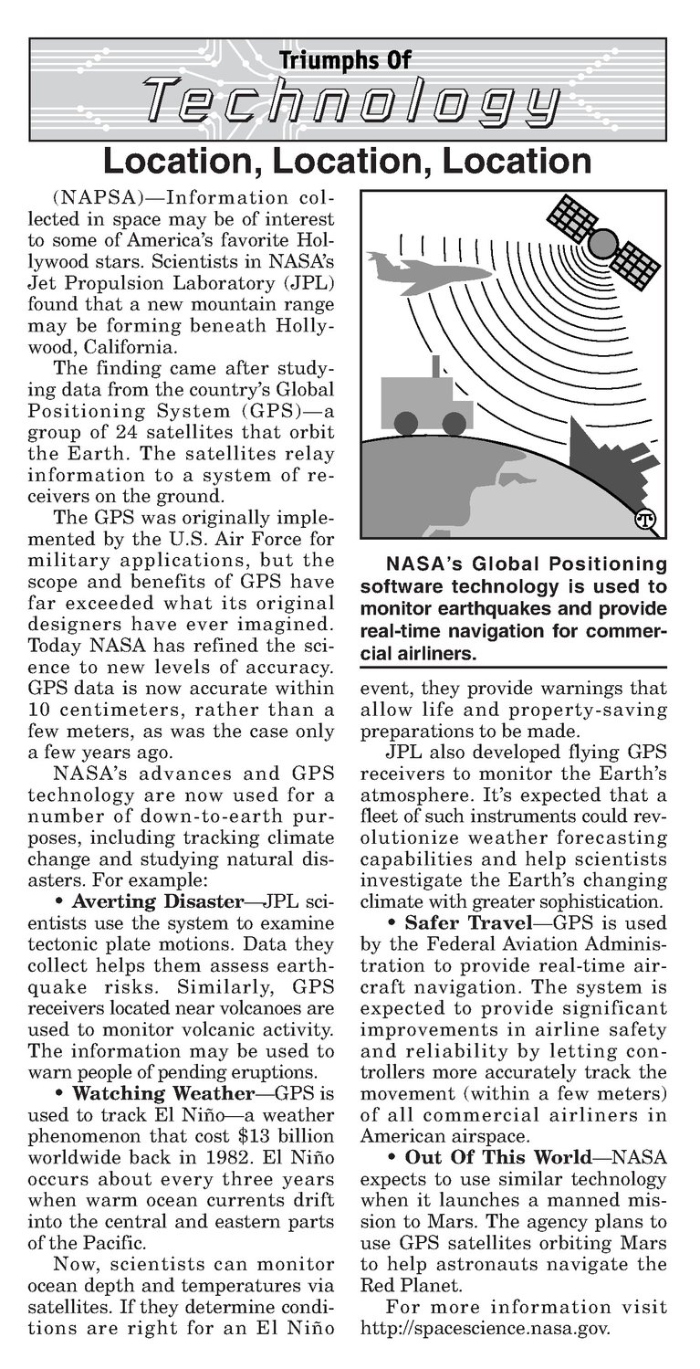
Jecnnology Location, Location, Location (NAPSA)—Information collected in space may be of interest to some of America’s favorite Hollywoodstars. Scientists in NASA’s Jet Propulsion Laboratory (JPL) found that a new mountain range may be forming beneath Hollywood, California. The finding came after studying data from the country’s Global Positioning System (GPS)—a group of 24 satellites that orbit the Earth. The satellites relay information to a system of receivers on the ground. The GPS was originally implemented by the U.S. Air Force for military applications, but the scope and benefits of GPS have far exceeded what its original designers have ever imagined. Today NASAhasrefined the science to new levels of accuracy. GPS data is now accurate within 10 centimeters, rather than a few meters, as was the case only a few years ago. NASA’s advances and GPS technology are now used for a number of down-to-earth purposes, including tracking climate change and studying natural disasters. For example: Averting Disaster—JPL sci- entists use the system to examine tectonic plate motions. Data they collect helps them assess earthquake risks. Similarly, GPS receivers located near volcanoes are used to monitor volcanic activity. The information may be used to warn people of pending eruptions. Watching Weather—GPSis used to track El Nifito—a weather phenomenon that cost $18 billion worldwide back in 1982. El Nifio occurs about every three years when warm ocean currents drift into the central and eastern parts of the Pacific. Now, scientists can monitor ocean depth and temperatures via satellites. If they determine conditions are right for an El Nifio NASA’s Global Positioning software technology is used to monitor earthquakes and provide real-time navigation for commercial airliners. event, they provide warnings that allow life and property-saving preparationsto be made. JPL also developed flying GPS receivers to monitor the Earth’s atmosphere. It’s expected that a fleet of such instruments could revolutionize weather forecasting capabilities and help scientists investigate the Earth’s changing climate with greater sophistication. Safer Travel—GPS is used by the Federal Aviation Administration to provide real-time aircraft navigation. The system is expected to provide significant improvements in airline safety and reliability by letting controllers more accurately track the movement (within a few meters) of all commercial airliners in American airspace. Out Of This World—NASA expects to use similar technology when it launches a manned mission to Mars. The agency plans to use GPS satellites orbiting Mars to help astronauts navigate the Red Planet. For more information visit http://spacescience.nasa. gov.