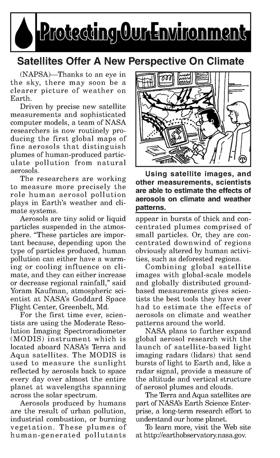
(NAPSA)—Thanksto an eye in the sky, there may soon be a clearer picture of weather on Earth. Driven by precise new satellite measurements and sophisticated computer models, a team of NASA researchers is now routinely producing the first global maps of fine aerosols that distinguish plumes of human-producedparticulate pollution from natural aerosols. The researchers are working to measure more precisely the role human aerosol pollution plays in Earth’s weather and climate systems. Aerosols are tiny solid or liquid particles suspended in the atmosphere. “These particles are important because, depending upon the type of particles produced, human pollution can either have a warming or cooling influence on cli- mate, and they can either increase or decrease regional rainfall,” said Yoram Kaufman, atmospheric scientist at NASA’s Goddard Space Flight Center, Greenbelt, Md. For the first time ever, scien- tists are using the Moderate Resolution Imaging Spectroradiometer (MODIS) instrument which is located aboard NASA’s Terra and Aqua satellites. The MODIS is used to measure the sunlight reflected by aerosols back to space every day over almost the entire planet at wavelengths spanning across the solar spectrum. Aerosols produced by humans are the result of urban pollution, industrial combustion, or burning vegetation. These plumes of human-generated pollutants Using satellite images, and other measurements, scientists are able to estimate the effects of aerosols on climate and weather patterns. appearin bursts of thick and concentrated plumes comprised of small particles. Or, they are concentrated downwind of regions obviously altered by humanactivities, such as deforested regions. Combining global satellite images with global-scale models and globally distributed groundbased measurements gives scientists the best tools they have ever had to estimate the effects of aerosols on climate and weather patterns around the world. NASA plans to further expand global aerosol research with the launch of satellite-based light imaging radars (lidars) that send bursts of light to Earth and, like a radarsignal, provide a measure of the altitude and vertical structure of aerosol plumesand clouds. The Terra and Aquasatellites are part of NASA’s Earth Science Enterprise, a long-term research effort to understand our homeplanet. To learn more, visit the Web site at http://earthobservatory.nasa.gov.