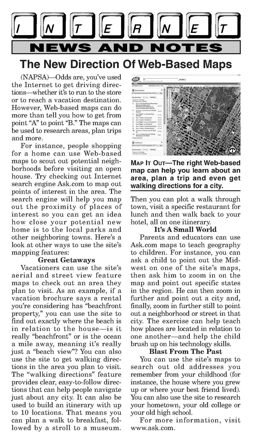


NEWS AND NOTES The New Direction Of Web-Based Maps (NAPSA)—Oddsare, you’ve used the Internet to get driving directions—whetherit’s to run to the store or to reach a vacation destination. However, Web-based maps can do more thantell you how to get from point “A” to point “B.” The maps can be used to research areas, plan trips and more. For instance, people shopping for a home can use Web-based maps to scout out potential neigh- borhoods before visiting an open house. Try checking out Internet search engine Ask.com to map out points of interest in the area. The search engine will help you map out the proximity of places of interest so you can get an idea how close your potential new home is to the local parks and other neighboring towns. Here’s a look at other ways to use thesite’s mapping features: Great Getaways Vacationers can use the site’s aerial and street view feature maps to check out an area they plan to visit. As an example, if a vacation brochure says a rental you're considering has “beachfront property,” you can use thesite to find out exactly where the beach is in relation to the house—is it really “beachfront” or is the ocean a mile away, meaningit’s really just a “beach view”? You can also use the site to get walking directions in the area you plan tovisit. The “walking directions” feature provides clear, easy-to-follow directions that can help people navigate just about anycity. It can also be used to build an itinerary with up to 10 locations. That means you can plan a walk to breakfast, followed by a stroll to a museum. — Map It Out—Theright Web-based map can help you learn about an area, plan a trip and even get walking directionsfora city. Then you can plot a walk through town, visit a specific restaurant for lunch and then walk back to your hotel, all on one itinerary. It’s A Small World Parents and educators can use Ask.com maps to teach geography to children. For instance, you can ask a child to point out the Midwest on one of the site’s maps, then ask him to zoom in on the map and point out specific states in the region. He can then zoom in further and point out a city and, finally, zoom in furtherstill to point out a neighborhood or street in that city. The exercise can help teach how places are located in relation to one another—and help the child brush up on his technology skills. Blast From The Past You can use the site’s maps to search out old addresses you remember from your childhood (for instance, the house where you grew up or where your best friend lived). You can also use thesite to research your hometown, your old college or your old high school. For more information, visit www.ask.com.